TYPE:
SYSTEM_SENSOR
LAYER:
DS_PHR1B_202010131041340_FR1_PX_E007N44_0402_01824
FORMAT:
DIMAP
RASTER:
image/jp2
General Information
Map Name
Geometric Processing Level
Radiometric Processing Level
BASIC
Image dimensions
Number of columns
9533
Number of rows
10124
Number of spectral bands
4
Dataset framing
Vertice
Longitude (DEG)
Latitude (DEG)
Row
Col
#1
7.178420345999477
44.13811766420623
1
#2
7.430792899387824
44.1396992707935
#3
7.433180685108893
43.95350002819521
#4
7.182397538204602
43.95335865662913
Dataset sources
PHR
Coordinate Reference System
Projected Coordinate System
Geocoding tables identification
EPSG(6.3)
Production
Production Date
2020-10-13T13:06:09.489
Job identification
5409638101-2
Dataset Producer Identification
AIRBUS DS GEO
Producer link
http://www.geo-airbusds.com
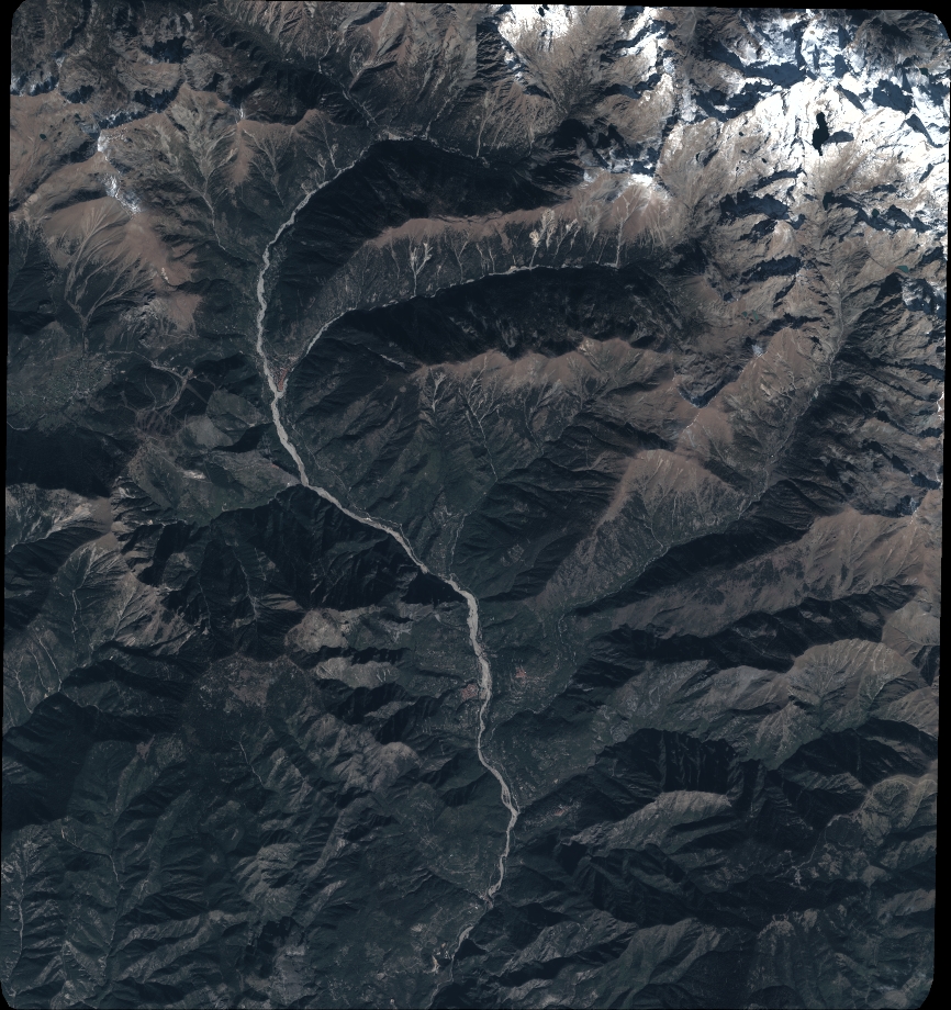
Quicklook
Copyright