TYPE:
SENSOR
LAYER:
DS_PHR1A_202010120053284_FR1_PX_E158N53_0908_01429
FORMAT:
DIMAP
RASTER:
image/tiff
General Information
Map Name
Geometric Processing Level
Radiometric Processing Level
BASIC
Image dimensions
Number of columns
31396
Number of rows
30567
Number of spectral bands
1
Dataset framing
Vertice
Longitude (DEG)
Latitude (DEG)
Row
Col
#1
158.5926362623366
53.39470286535511
#2
158.8546207721958
53.38485858912009
#3
158.8481616677609
53.23984200416447
#4
158.5959212279391
53.24608216567781
Dataset sources
PHR
Coordinate Reference System
Projected Coordinate System
Geocoding tables identification
EPSG(6.3)
Production
Production Date
2020-10-13T12:30:00.245
Job identification
5408606101-1
Dataset Producer Identification
AIRBUS DS GEO
Producer link
http://www.geo-airbusds.com
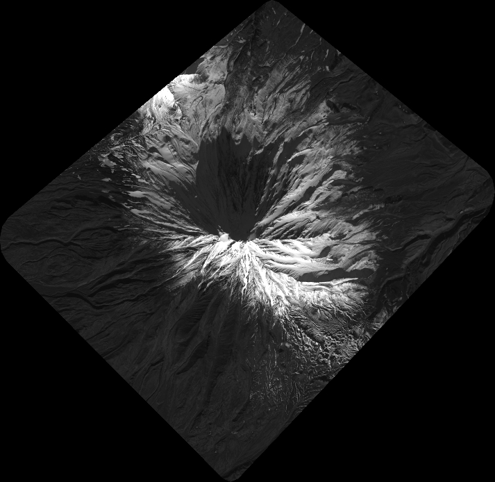
Quicklook
Copyright