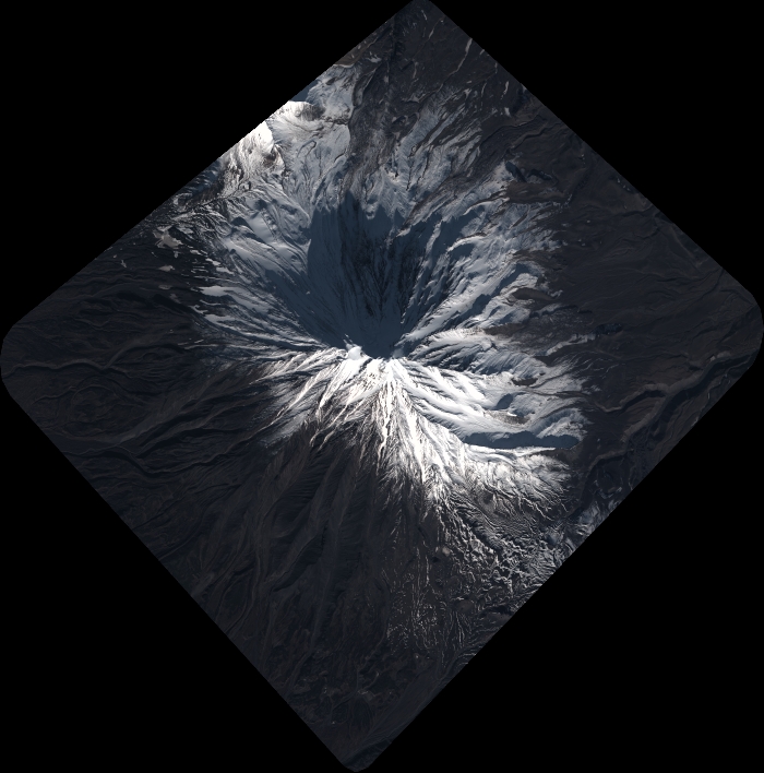
TYPE:
SENSOR
LAYER:
DS_PHR1A_202010120053486_FR1_PX_E158N53_0908_01406
FORMAT:
DIMAP
RASTER:
image/tiff
General Information
Map Name
Geometric Processing Level
Radiometric Processing Level
BASIC
Image dimensions
Number of columns
7708
Number of rows
7789
Number of spectral bands
4
Dataset framing
Vertice
Longitude (DEG)
Latitude (DEG)
Row
Col
#1
158.5930561486427
53.38893720060891
1
#2
158.8540374767412
53.38871606058149
#3
158.8471223289104
53.24176938731216
#4
158.5965224916865
53.24281102405389
Dataset sources
PHR
Coordinate Reference System
Projected Coordinate System
Geocoding tables identification
EPSG(6.3)
Production
Production Date
2020-10-13T12:30:08.516
Job identification
5408606101-2
Dataset Producer Identification
AIRBUS DS GEO
Producer link
http://www.geo-airbusds.com
Quicklook
Copyright