TYPE:
SENSOR
LAYER:
DS_PHR1A_202010120053284_FR1_PX_E158N53_0908_01429
FORMAT:
DIMAP
RASTER:
image/tiff
General Information
Map Name
Geometric Processing Level
Radiometric Processing Level
BASIC
Image dimensions
Number of columns
7849
Number of rows
7643
Number of spectral bands
4
Dataset framing
Vertice
Longitude (DEG)
Latitude (DEG)
Row
Col
#1
158.5926716172424
53.39469655013059
1
#2
158.8546280541466
53.38485779037069
#3
158.8481582606249
53.23982868731729
#4
158.5959441905929
53.24606424736982
Dataset sources
PHR
Coordinate Reference System
Projected Coordinate System
Geocoding tables identification
EPSG(6.3)
Production
Production Date
2020-10-13T12:29:13.101
Job identification
5408606101-2
Dataset Producer Identification
AIRBUS DS GEO
Producer link
http://www.geo-airbusds.com
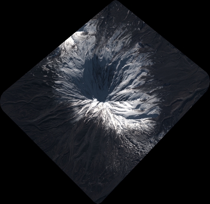
Quicklook
Copyright