TYPE:
SENSOR
LAYER:
DS_PHR1A_202010120052565_FR1_PX_E160N55_0823_01036
FORMAT:
DIMAP
RASTER:
image/tiff
General Information
Map Name
Geometric Processing Level
Radiometric Processing Level
BASIC
Image dimensions
Number of columns
23591
Number of rows
22502
Number of spectral bands
1
Dataset framing
Vertice
Longitude (DEG)
Latitude (DEG)
Row
Col
#1
160.5023182977822
56.00877860135471
#2
160.7181638668459
56.00484969508013
#3
160.7209694865084
55.89734749744349
#4
160.505752402791
55.90179807799336
Dataset sources
PHR
Coordinate Reference System
Projected Coordinate System
Geocoding tables identification
EPSG(6.3)
Production
Production Date
2020-10-13T11:39:52.357
Job identification
5408605101-1
Dataset Producer Identification
AIRBUS DS GEO
Producer link
http://www.geo-airbusds.com
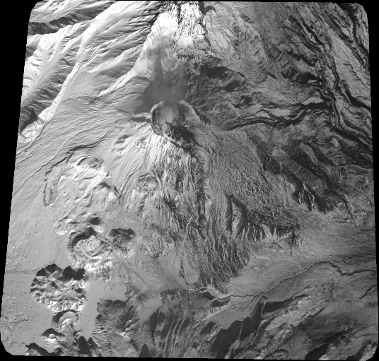
Quicklook
Copyright