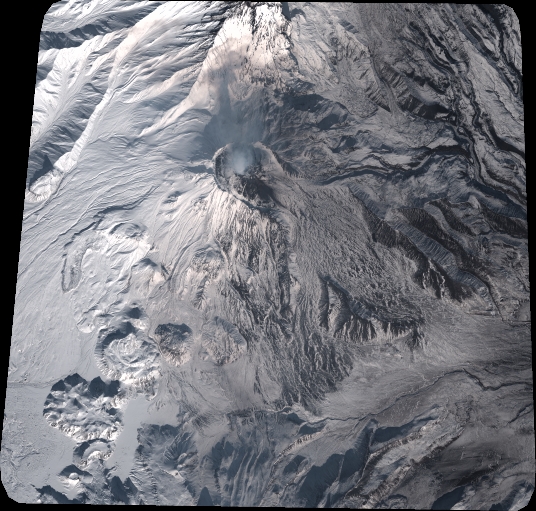
TYPE:
SENSOR
LAYER:
DS_PHR1A_202010120052565_FR1_PX_E160N55_0823_01036
FORMAT:
DIMAP
RASTER:
image/tiff
General Information
Map Name
Geometric Processing Level
Radiometric Processing Level
BASIC
Image dimensions
Number of columns
5899
Number of rows
5627
Number of spectral bands
4
Dataset framing
Vertice
Longitude (DEG)
Latitude (DEG)
Row
Col
#1
160.5023247817899
56.00878035072196
1
#2
160.7181906693586
56.00484890990897
#3
160.7209957413289
55.89733247282604
#4
160.505760162765
55.9017854574074
Dataset sources
PHR
Coordinate Reference System
Projected Coordinate System
Geocoding tables identification
EPSG(6.3)
Production
Production Date
2020-10-13T10:37:23.646
Job identification
5408605101-2
Dataset Producer Identification
AIRBUS DS GEO
Producer link
http://www.geo-airbusds.com
Quicklook
Copyright