TYPE:
SENSOR
LAYER:
DS_PHR1A_202010090027090_FR1_PX_E159N54_0601_01686
FORMAT:
DIMAP
RASTER:
image/tiff
General Information
Map Name
Geometric Processing Level
Radiometric Processing Level
BASIC
Image dimensions
Number of columns
19890
Number of rows
37490
Number of spectral bands
1
Dataset framing
Vertice
Longitude (DEG)
Latitude (DEG)
Row
Col
#1
159.3797765672952
54.10077643848506
#2
159.5437043456362
54.09878522707151
#3
159.5425014321689
53.92592388877537
#4
159.3807864916651
53.92710628324164
Dataset sources
PHR
Coordinate Reference System
Projected Coordinate System
Geocoding tables identification
EPSG(6.3)
Production
Production Date
2020-10-13T13:21:26.572
Job identification
5408607101-1
Dataset Producer Identification
AIRBUS DS GEO
Producer link
http://www.geo-airbusds.com
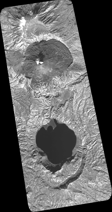
Quicklook
Copyright