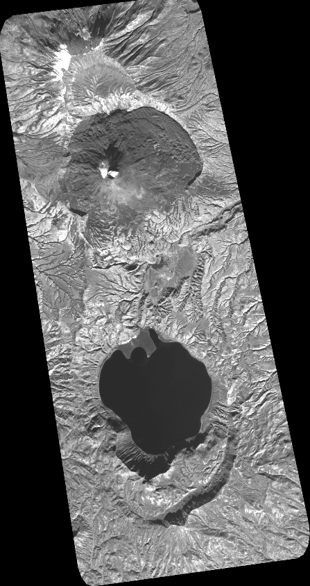
TYPE:
SENSOR
LAYER:
DS_PHR1A_202010090026598_FR1_PX_E159N54_0601_01671
FORMAT:
DIMAP
RASTER:
image/tiff
General Information
Map Name
Geometric Processing Level
Radiometric Processing Level
BASIC
Image dimensions
Number of columns
19686
Number of rows
37168
Number of spectral bands
1
Dataset framing
Vertice
Longitude (DEG)
Latitude (DEG)
Row
Col
#1
159.3797841347191
54.09893398466931
#2
159.5437699835715
54.09937764166401
#3
159.5427609311438
53.92743084278144
#4
159.3808150133771
53.92632394148445
Dataset sources
PHR
Coordinate Reference System
Projected Coordinate System
Geocoding tables identification
EPSG(6.3)
Production
Production Date
2020-10-13T13:05:09.205
Job identification
5408607101-1
Dataset Producer Identification
AIRBUS DS GEO
Producer link
http://www.geo-airbusds.com
Quicklook
Copyright