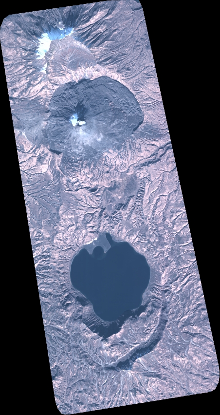
TYPE:
SENSOR
LAYER:
DS_PHR1A_202010090027090_FR1_PX_E159N54_0601_01686
FORMAT:
DIMAP
RASTER:
image/tiff
General Information
Map Name
Geometric Processing Level
Radiometric Processing Level
BASIC
Image dimensions
Number of columns
4974
Number of rows
9373
Number of spectral bands
4
Dataset framing
Vertice
Longitude (DEG)
Latitude (DEG)
Row
Col
#1
159.3797799720325
54.10077919395498
1
#2
159.5437323715908
54.09878637551137
#3
159.5425278615423
53.92592869936443
#4
159.3807883356239
53.92711261823624
Dataset sources
PHR
Coordinate Reference System
Projected Coordinate System
Geocoding tables identification
EPSG(6.3)
Production
Production Date
2020-10-13T13:07:10.410
Job identification
5408607101-2
Dataset Producer Identification
AIRBUS DS GEO
Producer link
http://www.geo-airbusds.com
Quicklook
Copyright