TYPE:
SENSOR
LAYER:
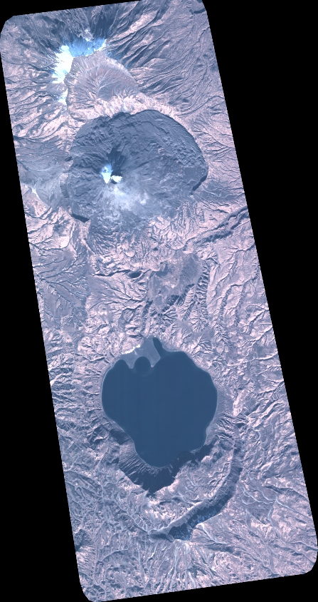
DS_PHR1A_202010090026598_FR1_PX_E159N54_0601_01671
FORMAT:
DIMAP
RASTER:
image/tiff
General Information
Map Name
Geometric Processing Level
Radiometric Processing Level
BASIC
Image dimensions
Number of columns
4923
Number of rows
9292
Number of spectral bands
4
Dataset framing
Vertice
Longitude (DEG)
Latitude (DEG)
Row
Col
#1
159.379781935573
54.0989270493504
1
#2
159.5437924489194
54.09937064129501
#3
159.5427820862142
53.92743737337272
#4
159.380810736236
53.92633042832865
Dataset sources
PHR
Coordinate Reference System
Projected Coordinate System
Geocoding tables identification
EPSG(6.3)
Production
Production Date
2020-10-13T13:26:31.390
Job identification
5408607101-2
Dataset Producer Identification
AIRBUS DS GEO
Producer link
http://www.geo-airbusds.com
Quicklook
Copyright