TYPE:
ORTHO
LAYER:
DS_PHR1A_202010081445047_FR1_PX_W062N14_1021_00822
FORMAT:
DIMAP
RASTER:
image/tiff
General Information
Map Name
Geometric Processing Level
Radiometric Processing Level
BASIC
Image dimensions
Number of columns
5390
Number of rows
4476
Number of spectral bands
4
Dataset framing
Vertice
Longitude (DEG)
Latitude (DEG)
Row
Col
#1
-61.23594205253092
14.84792610745223
1
#2
-61.13580970672319
14.8471356025453
#3
-61.13650105927537
14.76625830702852
#4
-61.23659631831213
14.76704431581631
Dataset sources
PHR
Coordinate Reference System
Projected Coordinate System
Geocoding tables identification
EPSG(6.3)
Projected Coordinate System name
32620
Projected Coordinate System code
urn:ogc:def:crs:EPSG::32620
Geoposition
Upper - Left Map X Coordinate
689809
Upper - Left Map Y Coordinate
1642255
Image sampling
2 x 2
Production
Production Date
2020-10-15T16:34:11.537
Job identification
5413969101-2
Dataset Producer Identification
AIRBUS DS GEO
Producer link
http://www.geo-airbusds.com
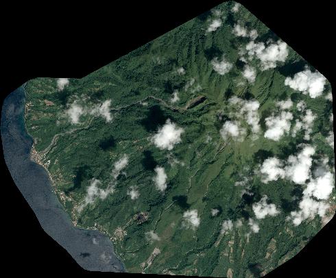
Quicklook
Copyright