TYPE:
SENSOR
LAYER:
DS_PHR1B_202010081030364_FR1_PX_E007N43_0518_00624
FORMAT:
DIMAP
RASTER:
image/jp2
General Information
Map Name
Geometric Processing Level
Radiometric Processing Level
BASIC
Image dimensions
Number of columns
25116
Number of rows
13484
Number of spectral bands
1
Dataset framing
Vertice
Longitude (DEG)
Latitude (DEG)
Row
Col
#1
7.236833483238793
43.76114970012959
#2
7.396932992814968
43.760277927862
#3
7.396765520385038
43.69790100279972
#4
7.236868332312716
43.69834595967945
Dataset sources
PHR
Coordinate Reference System
Projected Coordinate System
Geocoding tables identification
EPSG(6.3)
Production
Production Date
2020-11-30T14:02:04.930
Job identification
5498396101-1
Dataset Producer Identification
AIRBUS DS GEO
Producer link
http://www.geo-airbusds.com
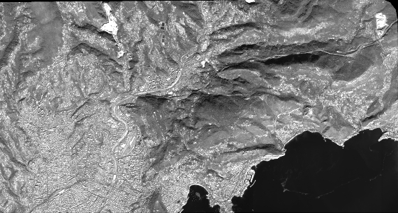
Quicklook
Copyright