TYPE:
SENSOR
LAYER:
DS_PHR1A_202010080448130_FR1_PX_E090N30_0810_02131
FORMAT:
DIMAP
RASTER:
image/tiff
General Information
Map Name
Geometric Processing Level
Radiometric Processing Level
BASIC
Image dimensions
Number of columns
40000
Number of rows
47520
Number of spectral bands
1
Dataset framing
Vertice
Longitude (DEG)
Latitude (DEG)
Row
Col
#1
90.48161594109844
30.51549139621867
#2
90.68772963085813
30.51548874453559
#3
90.68778353690588
30.30559220369036
#4
90.48156585318695
30.30534155121774
Dataset sources
PHR
Coordinate Reference System
Projected Coordinate System
Geocoding tables identification
EPSG(6.3)
Production
Production Date
2020-10-13T09:39:14.065
Job identification
5408195101-1
Dataset Producer Identification
AIRBUS DS GEO
Producer link
http://www.geo-airbusds.com
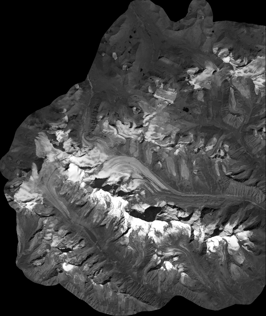
Quicklook
Copyright