TYPE:
SENSOR
LAYER:
DS_PHR1A_202010080447437_FR1_PX_E090N30_0810_02009
FORMAT:
DIMAP
RASTER:
image/tiff
General Information
Map Name
Geometric Processing Level
Radiometric Processing Level
BASIC
Image dimensions
Number of columns
39199
Number of rows
44095
Number of spectral bands
1
Dataset framing
Vertice
Longitude (DEG)
Latitude (DEG)
Row
Col
#1
90.48035544200958
30.5134363807229
#2
90.69065482874404
30.51703024341285
#3
90.69030107811386
30.30488411344039
#4
90.48151647120902
30.30639241547053
Dataset sources
PHR
Coordinate Reference System
Projected Coordinate System
Geocoding tables identification
EPSG(6.3)
Production
Production Date
2020-10-13T09:39:06.072
Job identification
5408195101-1
Dataset Producer Identification
AIRBUS DS GEO
Producer link
http://www.geo-airbusds.com
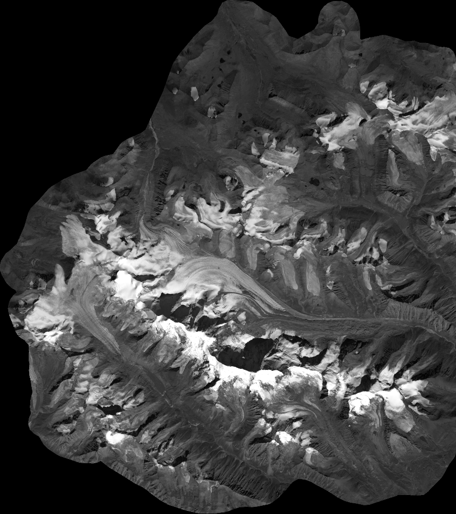
Quicklook
Copyright