TYPE:
SENSOR
LAYER:
DS_PHR1A_202010080448334_FR1_PX_E090N30_0810_02068
FORMAT:
DIMAP
RASTER:
image/tiff
General Information
Map Name
Geometric Processing Level
Radiometric Processing Level
BASIC
Image dimensions
Number of columns
9897
Number of rows
11336
Number of spectral bands
4
Dataset framing
Vertice
Longitude (DEG)
Latitude (DEG)
Row
Col
#1
90.48100345262326
30.51616208925008
1
#2
90.69079810209882
30.51856613156423
#3
90.6910745407943
30.3079727478191
#4
90.48027627284704
30.30222351379918
Dataset sources
PHR
Coordinate Reference System
Projected Coordinate System
Geocoding tables identification
EPSG(6.3)
Production
Production Date
2020-10-13T10:15:38.986
Job identification
5408195101-2
Dataset Producer Identification
AIRBUS DS GEO
Producer link
http://www.geo-airbusds.com
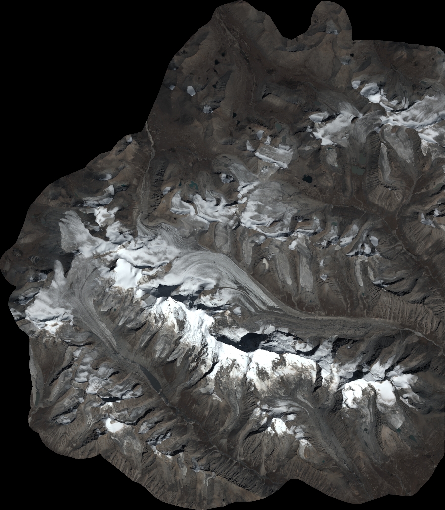
Quicklook
Copyright