TYPE:
SENSOR
LAYER:
DS_PHR1A_202010080448033_FR1_PX_E090N30_0910_01796
FORMAT:
DIMAP
RASTER:
image/tiff
General Information
Map Name
Geometric Processing Level
Radiometric Processing Level
BASIC
Image dimensions
Number of columns
24080
Number of rows
39935
Number of spectral bands
1
Dataset framing
Vertice
Longitude (DEG)
Latitude (DEG)
Row
Col
#1
90.65947034848985
30.50047329886168
#2
90.78382275073508
30.50062281941169
#3
90.78409550326067
30.32199166502841
#4
90.6594786556455
30.32296912508858
Dataset sources
PHR
Coordinate Reference System
Projected Coordinate System
Geocoding tables identification
EPSG(6.3)
Production
Production Date
2020-10-13T09:46:03.929
Job identification
5408194101-1
Dataset Producer Identification
AIRBUS DS GEO
Producer link
http://www.geo-airbusds.com
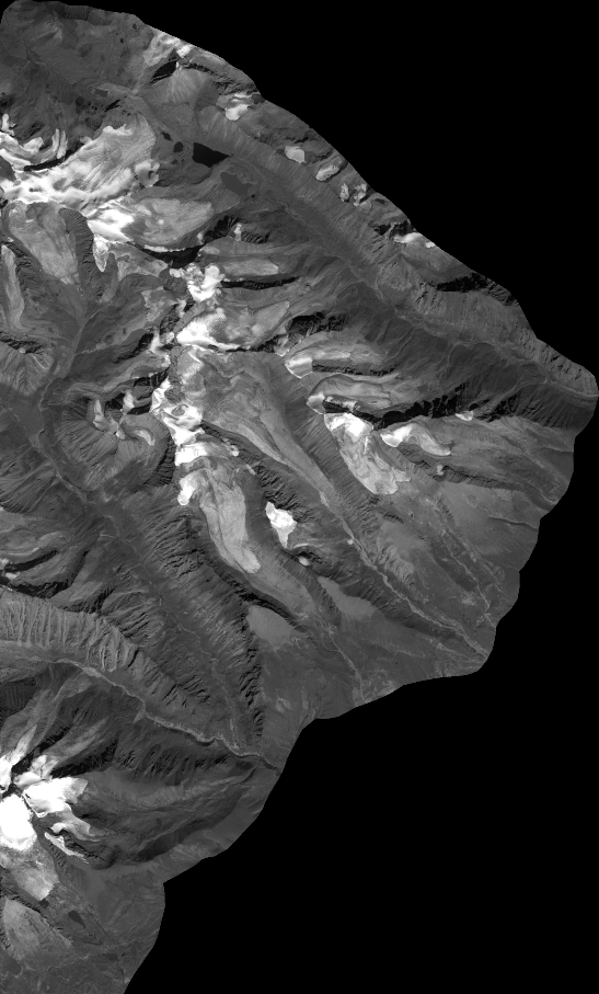
Quicklook
Copyright