TYPE:
SENSOR
LAYER:
DS_PHR1A_202010080448033_FR1_PX_E090N30_0910_01796
FORMAT:
DIMAP
RASTER:
image/tiff
General Information
Map Name
Geometric Processing Level
Radiometric Processing Level
BASIC
Image dimensions
Number of columns
6021
Number of rows
9984
Number of spectral bands
4
Dataset framing
Vertice
Longitude (DEG)
Latitude (DEG)
Row
Col
#1
90.65948259257016
30.5004703588043
1
#2
90.78384051741853
30.50061915494561
#3
90.7841139539189
30.3219982991045
#4
90.65949195452889
30.32297518116664
Dataset sources
PHR
Coordinate Reference System
Projected Coordinate System
Geocoding tables identification
EPSG(6.3)
Production
Production Date
2020-10-13T09:48:10.425
Job identification
5408194101-2
Dataset Producer Identification
AIRBUS DS GEO
Producer link
http://www.geo-airbusds.com
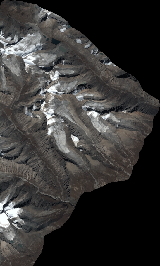
Quicklook
Copyright