TYPE:
SENSOR
LAYER:
DS_PHR1A_202010080447538_FR1_PX_E090N30_0910_01783
FORMAT:
DIMAP
RASTER:
image/tiff
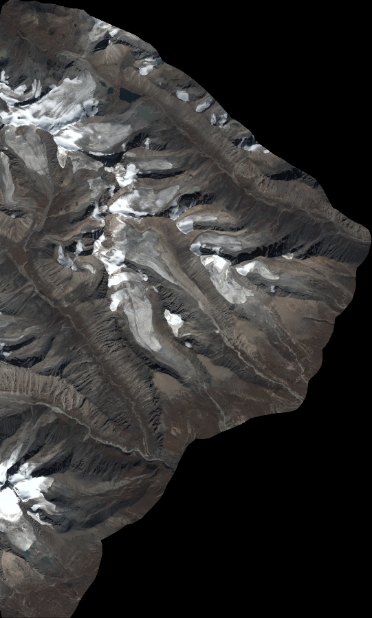
General Information
Map Name
Geometric Processing Level
Radiometric Processing Level
BASIC
Image dimensions
Number of columns
5953
Number of rows
9882
Number of spectral bands
4
Dataset framing
Vertice
Longitude (DEG)
Latitude (DEG)
Row
Col
#1
90.65946033176911
30.50019693599387
1
#2
90.78399434847849
30.500952783434
#3
90.78399172612349
30.31841024531773
#4
90.65955364937481
30.32004441403971
Dataset sources
PHR
Coordinate Reference System
Projected Coordinate System
Geocoding tables identification
EPSG(6.3)
Production
Production Date
2020-10-13T09:49:26.166
Job identification
5408194101-2
Dataset Producer Identification
AIRBUS DS GEO
Producer link
http://www.geo-airbusds.com
Quicklook
Copyright