TYPE:
SENSOR
LAYER:
DS_PHR1B_202010051003140_FR1_PX_E007N44_0502_01120
FORMAT:
DIMAP
RASTER:
image/jp2
General Information
Map Name
Geometric Processing Level
Radiometric Processing Level
BASIC
Image dimensions
Number of columns
40000
Number of rows
24652
Number of spectral bands
1
Dataset framing
Vertice
Longitude (DEG)
Latitude (DEG)
Row
Col
#1
7.088915477518322
44.13473696876967
#2
7.581850401959245
44.1744575565221
#3
7.568510981931654
44.02146104037639
#4
7.085095632702101
43.97852213256895
Dataset sources
PHR
Coordinate Reference System
Projected Coordinate System
Geocoding tables identification
EPSG(6.3)
Production
Production Date
2020-10-15T15:30:59.878
Job identification
5413829101-1
Dataset Producer Identification
AIRBUS DS GEO
Producer link
http://www.geo-airbusds.com
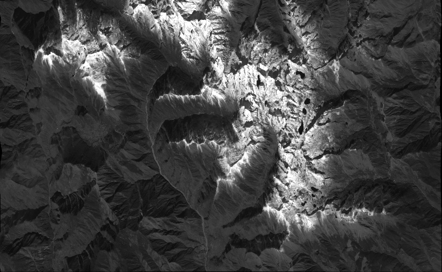
Quicklook
Copyright