TYPE:
SENSOR
LAYER:
DS_PHR1B_202010051003140_FR1_PX_E007N44_0502_01120
FORMAT:
DIMAP
RASTER:
image/jp2
General Information
Map Name
Geometric Processing Level
Radiometric Processing Level
BASIC
Image dimensions
Number of columns
10000
Number of rows
6163
Number of spectral bands
4
Dataset framing
Vertice
Longitude (DEG)
Latitude (DEG)
Row
Col
#1
7.088930513333286
44.13472875976755
1
#2
7.581834911595551
44.17444841088243
#3
7.568501317596509
44.02147059025631
#4
7.085113672144909
43.97853303177516
Dataset sources
PHR
Coordinate Reference System
Projected Coordinate System
Geocoding tables identification
EPSG(6.3)
Production
Production Date
2020-10-15T15:42:53.070
Job identification
5413829101-2
Dataset Producer Identification
AIRBUS DS GEO
Producer link
http://www.geo-airbusds.com
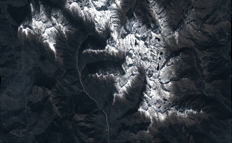
Quicklook
Copyright