TYPE:
ORTHO
LAYER:
DS_PHR1A_202009191441005_FR1_PX_W062N14_1020_00657
FORMAT:
DIMAP
RASTER:
image/tiff
General Information
Map Name
Geometric Processing Level
Radiometric Processing Level
BASIC
Image dimensions
Number of columns
10619
Number of rows
14744
Number of spectral bands
1
Dataset framing
Vertice
Longitude (DEG)
Latitude (DEG)
Row
Col
#1
-61.2360527797514
14.83513196629368
#2
-61.1867319969191
14.83474837437372
#3
-61.18728567993801
14.76813336429529
#4
-61.23659142191913
14.76851515773519
Dataset sources
PHR
Coordinate Reference System
Projected Coordinate System
Geocoding tables identification
EPSG(6.3)
Projected Coordinate System name
32620
Projected Coordinate System code
urn:ogc:def:crs:EPSG::32620
Geoposition
Upper - Left Map X Coordinate
689808.25
Upper - Left Map Y Coordinate
1640839.25
Image sampling
0.5 x 0.5
Production
Production Date
2020-10-15T16:19:51.992
Job identification
5413968101-1
Dataset Producer Identification
AIRBUS DS GEO
Producer link
http://www.geo-airbusds.com
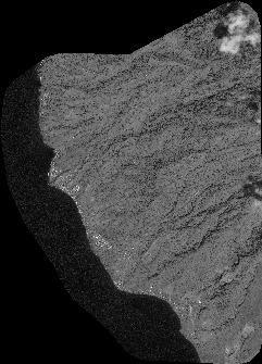
Quicklook
Copyright