TYPE:
ORTHO
LAYER:
DS_PHR1A_202009191441005_FR1_PX_W062N14_1020_00657
FORMAT:
DIMAP
RASTER:
image/tiff
General Information
Map Name
Geometric Processing Level
Radiometric Processing Level
BASIC
Image dimensions
Number of columns
2655
Number of rows
3687
Number of spectral bands
4
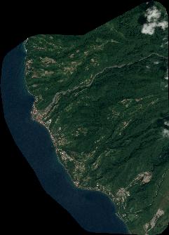
Dataset framing
Vertice
Longitude (DEG)
Latitude (DEG)
Row
Col
#1
-61.23604583044069
14.83512965358772
1
#2
-61.1867343382185
14.83474613348449
#3
-61.18728805789663
14.76812660487656
#4
-61.23658451108592
14.76850832671427
Dataset sources
PHR
Coordinate Reference System
Projected Coordinate System
Geocoding tables identification
EPSG(6.3)
Projected Coordinate System name
32620
Projected Coordinate System code
urn:ogc:def:crs:EPSG::32620
Geoposition
Upper - Left Map X Coordinate
689809
Upper - Left Map Y Coordinate
1640839
Image sampling
2 x 2
Production
Production Date
2020-10-15T16:30:41.494
Job identification
5413968101-2
Dataset Producer Identification
AIRBUS DS GEO
Producer link
http://www.geo-airbusds.com
Quicklook
Copyright