TYPE:
SENSOR
LAYER:
DS_PHR1A_202009181034100_FR1_PX_E006N44_1207_01415
FORMAT:
DIMAP
RASTER:
image/jp2
General Information
Map Name
Geometric Processing Level
Radiometric Processing Level
BASIC
Image dimensions
Number of columns
26354
Number of rows
31078
Number of spectral bands
1
Dataset framing
Vertice
Longitude (DEG)
Latitude (DEG)
Row
Col
#1
6.867595253883632
44.36299034330849
#2
7.036440165528096
44.36407943044826
#3
7.036089117641244
44.21838538508734
#4
6.867828608173053
44.2189353422613
Dataset sources
PHR
Coordinate Reference System
Projected Coordinate System
Geocoding tables identification
EPSG(6.3)
Production
Production Date
2020-10-12T12:51:40.658
Job identification
5403911101-1
Dataset Producer Identification
AIRBUS DS GEO
Producer link
http://www.geo-airbusds.com
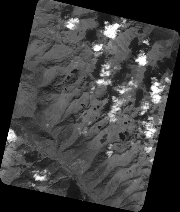
Quicklook
Copyright