TYPE:
SENSOR
LAYER:
DS_PHR1A_202009181033343_FR1_PX_E006N44_1208_01446
FORMAT:
DIMAP
RASTER:
image/jp2
General Information
Map Name
Geometric Processing Level
Radiometric Processing Level
BASIC
Image dimensions
Number of columns
26744
Number of rows
31892
Number of spectral bands
1
Dataset framing
Vertice
Longitude (DEG)
Latitude (DEG)
Row
Col
#1
6.868291041246704
44.3646294599228
#2
7.037794819554109
44.36545886528677
#3
7.037656461602311
44.22098244057927
#4
6.867993400976118
44.21903317641301
Dataset sources
PHR
Coordinate Reference System
Projected Coordinate System
Geocoding tables identification
EPSG(6.3)
Production
Production Date
2020-10-12T12:45:42.474
Job identification
5403911101-1
Dataset Producer Identification
AIRBUS DS GEO
Producer link
http://www.geo-airbusds.com
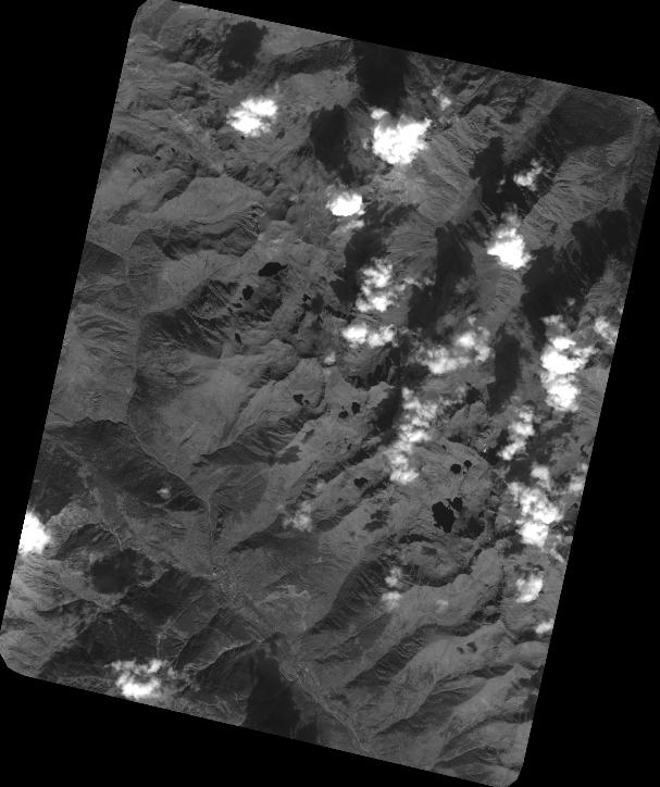
Quicklook
Copyright