TYPE:
SENSOR
LAYER:
DS_PHR1A_202009181033343_FR1_PX_E006N44_1208_01446
FORMAT:
DIMAP
RASTER:
image/jp2
General Information
Map Name
Geometric Processing Level
Radiometric Processing Level
BASIC
Image dimensions
Number of columns
6687
Number of rows
7974
Number of spectral bands
4
Dataset framing
Vertice
Longitude (DEG)
Latitude (DEG)
Row
Col
#1
6.868306614696845
44.36462192063689
1
#2
7.037817386732866
44.36545327726894
#3
7.037679265850687
44.22097198486135
#4
6.868009895213092
44.21902169328934
Dataset sources
PHR
Coordinate Reference System
Projected Coordinate System
Geocoding tables identification
EPSG(6.3)
Production
Production Date
2020-10-12T12:44:49.708
Job identification
5403911101-2
Dataset Producer Identification
AIRBUS DS GEO
Producer link
http://www.geo-airbusds.com
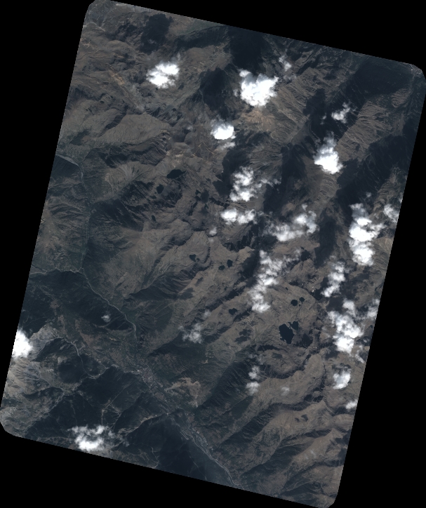
Quicklook
Copyright