TYPE:
SENSOR
LAYER:
DS_PHR1B_202008231122464_FR1_PX_W002N46_0910_00908
FORMAT:
DIMAP
RASTER:
image/jp2
General Information
Map Name
Geometric Processing Level
Radiometric Processing Level
BASIC
Image dimensions
Number of columns
4370
Number of rows
4970
Number of spectral bands
4
Dataset framing
Vertice
Longitude (DEG)
Latitude (DEG)
Row
Col
#1
-1.383160938730531
45.92731216787658
1
#2
-1.253063120158192
45.92788631972712
#3
-1.254855673264803
45.83257416860602
#4
-1.385109143704474
45.83246283959012
Dataset sources
PHR
Coordinate Reference System
Projected Coordinate System
Geocoding tables identification
EPSG(6.3)
Production
Production Date
2020-11-25T09:45:43.336
Job identification
5494061101-2
Dataset Producer Identification
AIRBUS DS GEO
Producer link
http://www.geo-airbusds.com
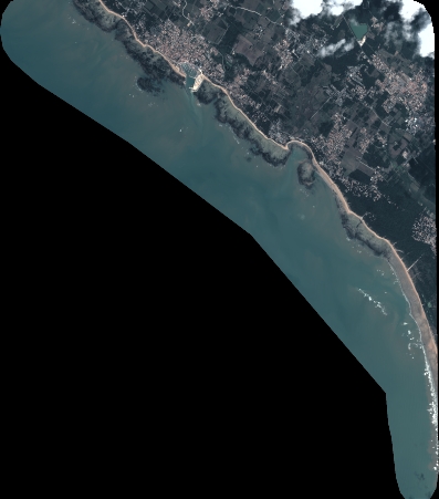
Quicklook
Copyright