TYPE:
SENSOR
LAYER:
DS_PHR1B_202008231122410_FR1_PX_W002N46_0710_00407
FORMAT:
DIMAP
RASTER:
image/jp2
General Information
Map Name
Geometric Processing Level
Radiometric Processing Level
BASIC
Image dimensions
Number of columns
4056
Number of rows
2145
Number of spectral bands
4
Dataset framing
Vertice
Longitude (DEG)
Latitude (DEG)
Row
Col
#1
-1.521214504683906
46.2736428138201
1
#2
-1.402302755900079
46.27583983890112
#3
-1.401895514216293
46.2351566641627
#4
-1.52086469227888
46.2331339185011
Dataset sources
PHR
Coordinate Reference System
Projected Coordinate System
Geocoding tables identification
EPSG(6.3)
Production
Production Date
2020-11-25T09:48:00.803
Job identification
5494060101-2
Dataset Producer Identification
AIRBUS DS GEO
Producer link
http://www.geo-airbusds.com
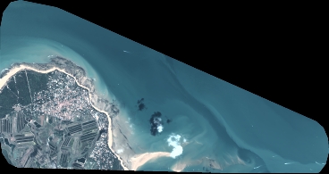
Quicklook
Copyright