TYPE:
SENSOR
LAYER:
DS_PHR1B_202008231122388_FR1_PX_W002N46_0809_01597
FORMAT:
DIMAP
RASTER:
image/jp2
General Information
Map Name
Geometric Processing Level
Radiometric Processing Level
BASIC
Image dimensions
Number of columns
36245
Number of rows
35383
Number of spectral bands
1
Dataset framing
Vertice
Longitude (DEG)
Latitude (DEG)
Row
Col
#1
-1.522631318534004
46.41967465430953
#2
-1.25584935148939
46.42583561999984
#3
-1.252708877344573
46.25726911833876
#4
-1.520085313456382
46.25270262799243
Dataset sources
PHR
Coordinate Reference System
Projected Coordinate System
Geocoding tables identification
EPSG(6.3)
Production
Production Date
2020-11-25T09:49:25.080
Job identification
5494059101-1
Dataset Producer Identification
AIRBUS DS GEO
Producer link
http://www.geo-airbusds.com
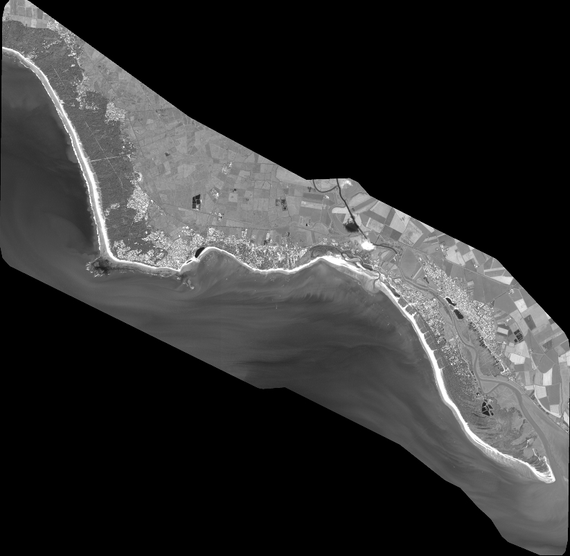
Quicklook
Copyright