TYPE:
SENSOR
LAYER:
DS_PHR1B_202008231122388_FR1_PX_W002N46_0809_01597
FORMAT:
DIMAP
RASTER:
image/jp2
General Information
Map Name
Geometric Processing Level
Radiometric Processing Level
BASIC
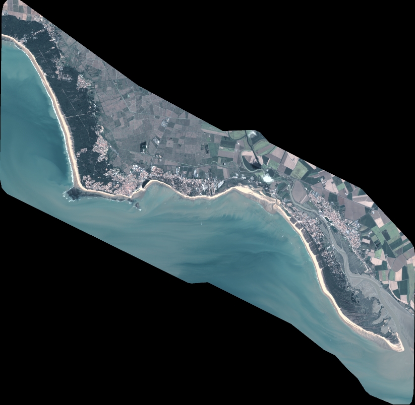
Image dimensions
Number of columns
9062
Number of rows
8846
Number of spectral bands
4
Dataset framing
Vertice
Longitude (DEG)
Latitude (DEG)
Row
Col
#1
-1.522622277449456
46.41967342600413
1
#2
-1.255840069789769
46.42583306327886
#3
-1.252698575879406
46.25727501481501
#4
-1.52007518617204
46.25270978047076
Dataset sources
PHR
Coordinate Reference System
Projected Coordinate System
Geocoding tables identification
EPSG(6.3)
Production
Production Date
2020-11-25T09:49:17.121
Job identification
5494059101-2
Dataset Producer Identification
AIRBUS DS GEO
Producer link
http://www.geo-airbusds.com
Quicklook
Copyright