TYPE:
SENSOR
LAYER:
DS_PHR1B_202008231122105_FR1_PX_W002N46_0610_01096
FORMAT:
DIMAP
RASTER:
image/jp2
General Information
Map Name
Geometric Processing Level
Radiometric Processing Level
BASIC
Image dimensions
Number of columns
19306
Number of rows
24112
Number of spectral bands
1
Dataset framing
Vertice
Longitude (DEG)
Latitude (DEG)
Row
Col
#1
-1.61764519126057
46.28372505697049
#2
-1.480245920698367
46.27762808263952
#3
-1.48051139711991
46.1597573215507
#4
-1.618018989716502
46.16630858139539
Dataset sources
PHR
Coordinate Reference System
Projected Coordinate System
Geocoding tables identification
EPSG(6.3)
Production
Production Date
2020-11-25T09:44:48.181
Job identification
5494058101-1
Dataset Producer Identification
AIRBUS DS GEO
Producer link
http://www.geo-airbusds.com
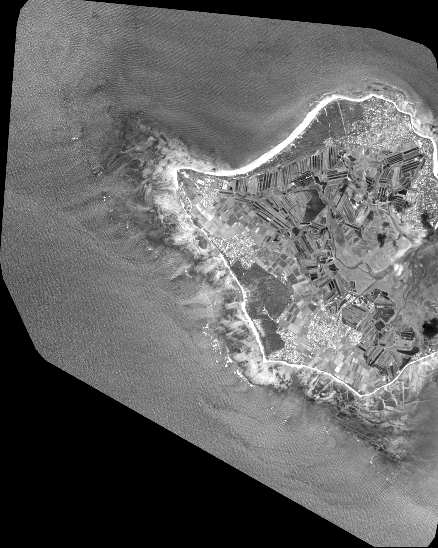
Quicklook
Copyright