TYPE:
SENSOR
LAYER:
DS_PHR1B_202008231122105_FR1_PX_W002N46_0610_01096
FORMAT:
DIMAP
RASTER:
image/jp2
General Information
Map Name
Geometric Processing Level
Radiometric Processing Level
BASIC
Image dimensions
Number of columns
4828
Number of rows
6028
Number of spectral bands
4
Dataset framing
Vertice
Longitude (DEG)
Latitude (DEG)
Row
Col
#1
-1.617641692001371
46.28371758807353
1
#2
-1.480220961856298
46.277619612985
#3
-1.480486376696699
46.15976343802721
#4
-1.618015434592532
46.16631571319301
Dataset sources
PHR
Coordinate Reference System
Projected Coordinate System
Geocoding tables identification
EPSG(6.3)
Production
Production Date
2020-11-25T09:44:40.379
Job identification
5494058101-2
Dataset Producer Identification
AIRBUS DS GEO
Producer link
http://www.geo-airbusds.com
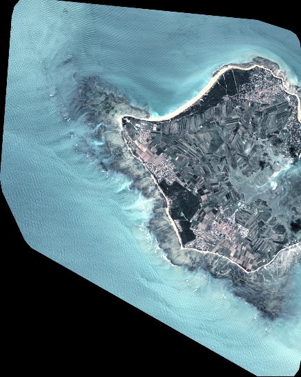
Quicklook
Copyright