TYPE:
ORTHO
LAYER:
DS_PHR1A_202008051110308_FR1_PX_E001N48_0813_01448
FORMAT:
DIMAP
RASTER:
image/tiff
General Information
Map Name
Geometric Processing Level
Radiometric Processing Level
BASIC
Image dimensions
Number of columns
41240
Number of rows
33523
Number of spectral bands
1
Dataset framing
Vertice
Longitude (DEG)
Latitude (DEG)
Row
Col
#1
1.503391634577502
48.58985747458792
#2
1.782948005357485
48.59304442844888
#3
1.78644094756669
48.44228388110246
#4
1.507686557337465
48.43910569267644
Dataset sources
PHR
Coordinate Reference System
Projected Coordinate System
Geocoding tables identification
EPSG(6.3)
Projected Coordinate System name
2154
Projected Coordinate System code
urn:ogc:def:crs:EPSG::2154
Geoposition
Upper - Left Map X Coordinate
589632.75
Upper - Left Map Y Coordinate
6833229.25
Image sampling
0.5 x 0.5
Production
Production Date
2020-08-17T10:54:05.172
Job identification
5255301101-1
Dataset Producer Identification
AIRBUS DS GEO
Producer link
http://www.geo-airbusds.com
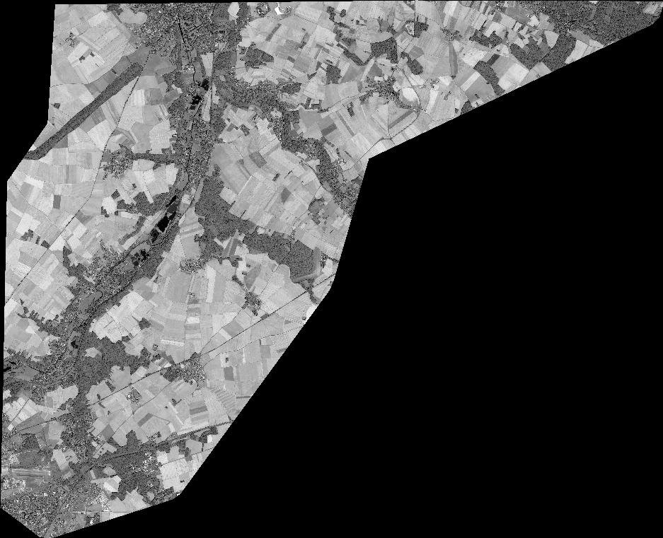
Quicklook
Copyright