TYPE:
ORTHO
LAYER:
DS_PHR1A_202008051110308_FR1_PX_E001N48_0813_01448
FORMAT:
DIMAP
RASTER:
image/tiff
General Information
Map Name
Geometric Processing Level
Radiometric Processing Level
BASIC
Image dimensions
Number of columns
10300
Number of rows
8381
Number of spectral bands
4
Dataset framing
Vertice
Longitude (DEG)
Latitude (DEG)
Row
Col
#1
1.503693342316515
48.58985901899105
1
#2
1.782958226601477
48.59304228388332
#3
1.786450931538155
48.44229073123874
#4
1.507987144015169
48.43911622111403
Dataset sources
PHR
Coordinate Reference System
Projected Coordinate System
Geocoding tables identification
EPSG(6.3)
Projected Coordinate System name
2154
Projected Coordinate System code
urn:ogc:def:crs:EPSG::2154
Geoposition
Upper - Left Map X Coordinate
589655
Upper - Left Map Y Coordinate
6833229
Image sampling
2 x 2
Production
Production Date
2020-08-17T10:55:16.390
Job identification
5255301101-2
Dataset Producer Identification
AIRBUS DS GEO
Producer link
http://www.geo-airbusds.com
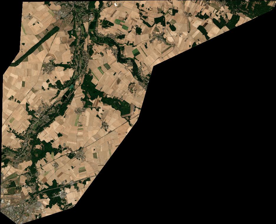
Quicklook
Copyright