TYPE:
SENSOR
LAYER:
DS_PHR1A_202008041030393_FR1_PX_E007N43_0318_01099
FORMAT:
DIMAP
RASTER:
image/jp2
General Information
Map Name
Geometric Processing Level
Radiometric Processing Level
BASIC
Image dimensions
Number of columns
29055
Number of rows
23903
Number of spectral bands
1
Dataset framing
Vertice
Longitude (DEG)
Latitude (DEG)
Row
Col
#1
7.121811865870409
43.76048020226071
#2
7.318019358701094
43.76247080676085
#3
7.317657775067512
43.63589849494336
#4
7.12202586189747
43.63561825122243
Dataset sources
PHR
Coordinate Reference System
Projected Coordinate System
Geocoding tables identification
EPSG(6.3)
Production
Production Date
2020-11-30T14:01:44.527
Job identification
5498397101-1
Dataset Producer Identification
AIRBUS DS GEO
Producer link
http://www.geo-airbusds.com
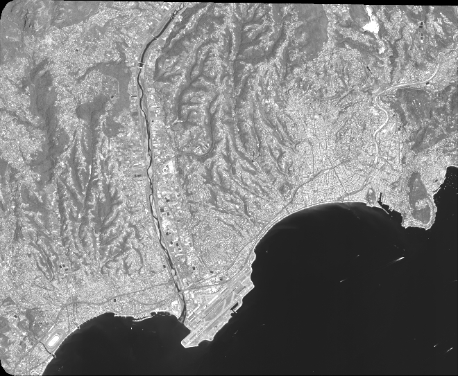
Quicklook
Copyright