TYPE:
SENSOR
LAYER:
DS_PHR1B_202008011053265_FR1_PX_E002N43_0902_05184
FORMAT:
DIMAP
RASTER:
image/jp2
General Information
Map Name
Geometric Processing Level
Radiometric Processing Level
BASIC
Image dimensions
Number of columns
38584
Number of rows
116132
Number of spectral bands
1
Dataset framing
Vertice
Longitude (DEG)
Latitude (DEG)
Row
Col
#1
2.577737542251869
43.35722429176535
#2
2.831463825398926
43.36822440846176
#3
2.830865673650984
42.79594092877575
#4
2.578723168482899
42.78787243237594
Dataset sources
PHR
Coordinate Reference System
Projected Coordinate System
Geocoding tables identification
EPSG(6.3)
Production
Production Date
2020-08-05T13:47:04.330
Job identification
5225881101-1
Dataset Producer Identification
AIRBUS DS GEO
Producer link
http://www.geo-airbusds.com
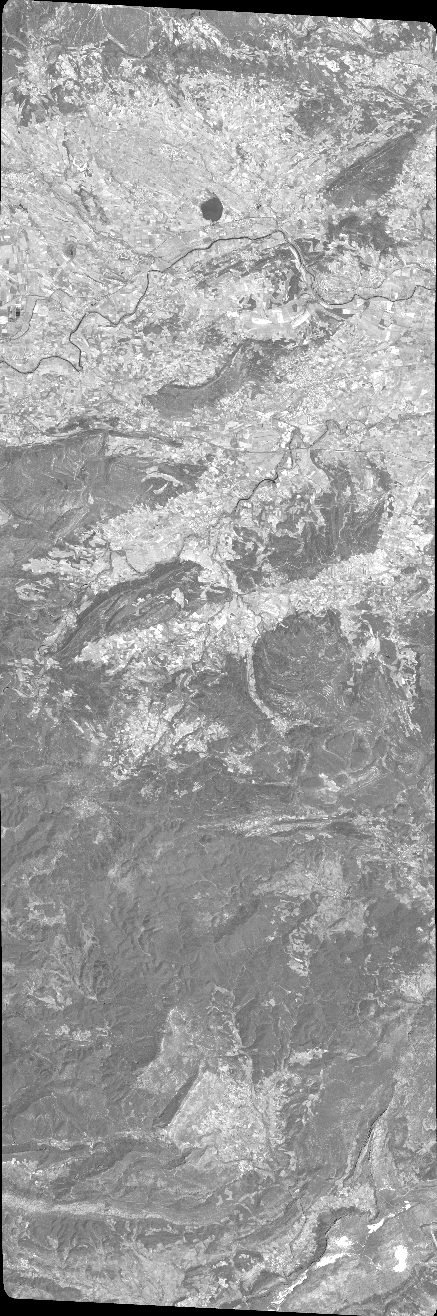
Quicklook
Copyright