TYPE:
SENSOR
LAYER:
DS_PHR1A_202007281542038_FR1_PX_W079N00_0701_00516
FORMAT:
DIMAP
RASTER:
image/tiff
General Information
Map Name
Geometric Processing Level
Radiometric Processing Level
BASIC
Image dimensions
Number of columns
7395
Number of rows
2769
Number of spectral bands
4
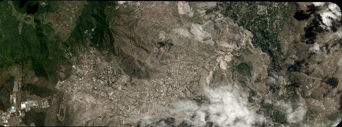
Dataset framing
Vertice
Longitude (DEG)
Latitude (DEG)
Row
Col
#1
-78.5090448631265
0.04449996510747076
1
#2
-78.37524040346413
0.04528184358324049
#3
-78.37549431302669
-0.004436592326417986
#4
-78.50862102493321
-0.005009169913695731
Dataset sources
PHR
Coordinate Reference System
Projected Coordinate System
Geocoding tables identification
EPSG(6.3)
Production
Production Date
2020-08-05T16:45:38.597
Job identification
5226202101-2
Dataset Producer Identification
AIRBUS DS GEO
Producer link
http://www.geo-airbusds.com
Quicklook
Copyright