TYPE:
SENSOR
LAYER:
DS_PHR1A_202007281541516_FR1_PX_W079N00_0701_00537
FORMAT:
DIMAP
RASTER:
image/tiff
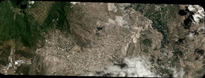
General Information
Map Name
Geometric Processing Level
Radiometric Processing Level
BASIC
Image dimensions
Number of columns
7348
Number of rows
2809
Number of spectral bands
4
Dataset framing
Vertice
Longitude (DEG)
Latitude (DEG)
Row
Col
#1
-78.5108371904564
0.04445746548193209
1
#2
-78.37534670003417
0.0476890651745024
#3
-78.37549262660771
-0.004385005813496552
#4
-78.51020122701487
-0.006820999816040632
Dataset sources
PHR
Coordinate Reference System
Projected Coordinate System
Geocoding tables identification
EPSG(6.3)
Production
Production Date
2020-08-05T17:01:16.601
Job identification
5226200101-2
Dataset Producer Identification
AIRBUS DS GEO
Producer link
http://www.geo-airbusds.com
Quicklook
Copyright