TYPE:
ORTHO
LAYER:
DS_PHR1A_202007211035413_FR1_PX_E005N49_1109_01477
FORMAT:
DIMAP
RASTER:
image/tiff
General Information
Map Name
Geometric Processing Level
Radiometric Processing Level
BASIC
Image dimensions
Number of columns
44540
Number of rows
32458
Number of spectral bands
1
Dataset framing
Vertice
Longitude (DEG)
Latitude (DEG)
Row
Col
#1
5.756781861167143
49.44349394508746
#2
6.063517965921339
49.4361187985619
#3
6.054867097232362
49.29035455086949
#4
5.748995684176528
49.29771001888372
Dataset sources
PHR
Coordinate Reference System
Projected Coordinate System
Geocoding tables identification
EPSG(6.3)
Projected Coordinate System name
2154
Projected Coordinate System code
urn:ogc:def:crs:EPSG::2154
Geoposition
Upper - Left Map X Coordinate
899955.75
Upper - Left Map Y Coordinate
6930609.25
Image sampling
0.5 x 0.5
Production
Production Date
2020-08-17T08:28:03.144
Job identification
5255367101-1
Dataset Producer Identification
AIRBUS DS GEO
Producer link
http://www.geo-airbusds.com
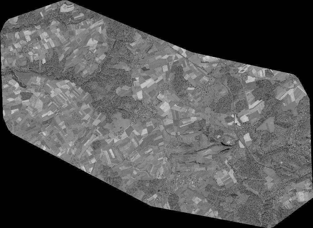
Quicklook
Copyright