TYPE:
ORTHO
LAYER:
DS_PHR1B_202007201043360_FR1_PX_E003N48_1013_01225
FORMAT:
DIMAP
RASTER:
image/tiff
General Information
Map Name
Geometric Processing Level
Radiometric Processing Level
BASIC
Image dimensions
Number of columns
11017
Number of rows
6857
Number of spectral bands
4
Dataset framing
Vertice
Longitude (DEG)
Latitude (DEG)
Row
Col
#1
3.631285522835527
48.56666306987903
1
#2
3.929875024981925
48.56470392238249
#3
3.927691755941442
48.44136076825311
#4
3.629803243435529
48.44331550611028
Dataset sources
PHR
Coordinate Reference System
Projected Coordinate System
Geocoding tables identification
EPSG(6.3)
Projected Coordinate System name
2154
Projected Coordinate System code
urn:ogc:def:crs:EPSG::2154
Geoposition
Upper - Left Map X Coordinate
746577
Upper - Left Map Y Coordinate
6829791
Image sampling
2 x 2
Production
Production Date
2020-08-17T11:41:10.286
Job identification
5255300101-2
Dataset Producer Identification
AIRBUS DS GEO
Producer link
http://www.geo-airbusds.com
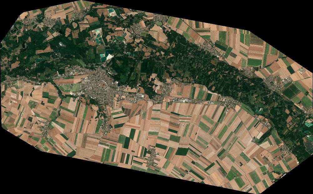
Quicklook
Copyright