TYPE:
ORTHO
LAYER:
DS_PHR1B_202007181058053_FR1_PX_E002N49_1015_01480
FORMAT:
DIMAP
RASTER:
image/tiff
General Information
Map Name
Geometric Processing Level
Radiometric Processing Level
BASIC
Image dimensions
Number of columns
5503
Number of rows
9408
Number of spectral bands
4
Dataset framing
Vertice
Longitude (DEG)
Latitude (DEG)
Row
Col
#1
2.675444020358725
49.69823450056919
1
#2
2.827878937663662
49.69854546430409
#3
2.828445177337427
49.52947855008279
#4
2.676511728105644
49.52916854944109
Dataset sources
PHR
Coordinate Reference System
Projected Coordinate System
Geocoding tables identification
EPSG(6.3)
Projected Coordinate System name
2154
Projected Coordinate System code
urn:ogc:def:crs:EPSG::2154
Geoposition
Upper - Left Map X Coordinate
676571
Upper - Left Map Y Coordinate
6955513
Image sampling
2 x 2
Production
Production Date
2020-08-17T10:32:26.811
Job identification
5255368101-2
Dataset Producer Identification
AIRBUS DS GEO
Producer link
http://www.geo-airbusds.com
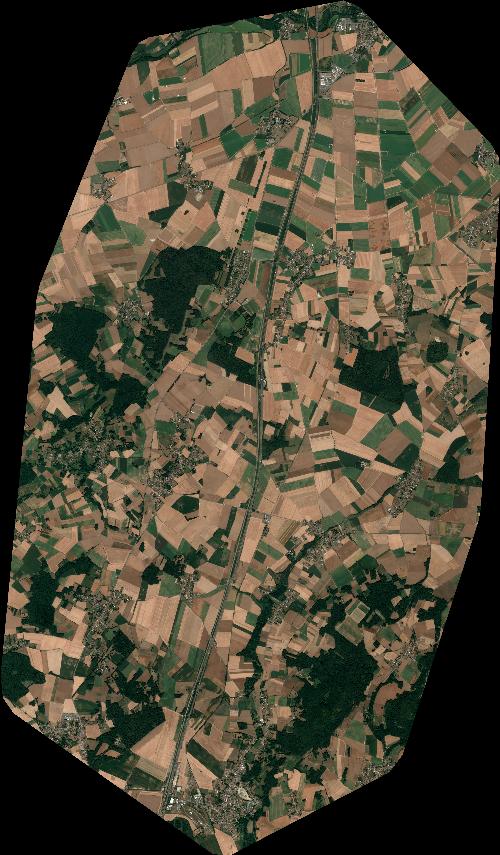
Quicklook
Copyright