TYPE:
ORTHO
LAYER:
DS_PHR1B_202007181057573_FR1_PX_E002N49_1019_01316
FORMAT:
DIMAP
RASTER:
image/tiff
General Information
Map Name
Geometric Processing Level
Radiometric Processing Level
BASIC
Image dimensions
Number of columns
5466
Number of rows
8851
Number of spectral bands
4
Dataset framing
Vertice
Longitude (DEG)
Latitude (DEG)
Row
Col
#1
2.715337365003408
49.85324696332344
1
#2
2.867207008173186
49.85350652185217
#3
2.867619324289617
49.69447984861156
#4
2.716221223395452
49.69422104682863
Dataset sources
PHR
Coordinate Reference System
Projected Coordinate System
Geocoding tables identification
EPSG(6.3)
Projected Coordinate System name
2154
Projected Coordinate System code
urn:ogc:def:crs:EPSG::2154
Geoposition
Upper - Left Map X Coordinate
679513
Upper - Left Map Y Coordinate
6972755
Image sampling
2 x 2
Production
Production Date
2020-08-17T08:34:27.109
Job identification
5255217101-2
Dataset Producer Identification
AIRBUS DS GEO
Producer link
http://www.geo-airbusds.com
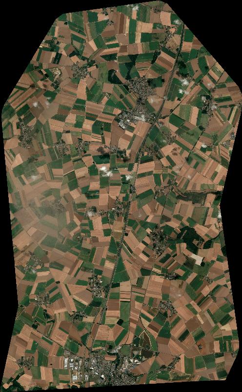
Quicklook
Copyright