TYPE:
ORTHO
LAYER:
DS_PHR1B_202007131047058_FR1_PX_E002N49_1017_00690
FORMAT:
DIMAP
RASTER:
image/tiff
General Information
Map Name
Geometric Processing Level
Radiometric Processing Level
BASIC
Image dimensions
Number of columns
21816
Number of rows
16520
Number of spectral bands
1
Dataset framing
Vertice
Longitude (DEG)
Latitude (DEG)
Row
Col
#1
2.714035081744174
49.72541968432012
#2
2.865213595431557
49.72568079349381
#3
2.865408722349366
49.65146533542344
#4
2.714449063218067
49.65120458166415
Dataset sources
PHR
Coordinate Reference System
Projected Coordinate System
Geocoding tables identification
EPSG(6.3)
Projected Coordinate System name
2154
Projected Coordinate System code
urn:ogc:def:crs:EPSG::2154
Geoposition
Upper - Left Map X Coordinate
679367.75
Upper - Left Map Y Coordinate
6958527.75
Image sampling
0.5 x 0.5
Production
Production Date
2020-08-17T10:42:14.004
Job identification
5255218101-1
Dataset Producer Identification
AIRBUS DS GEO
Producer link
http://www.geo-airbusds.com
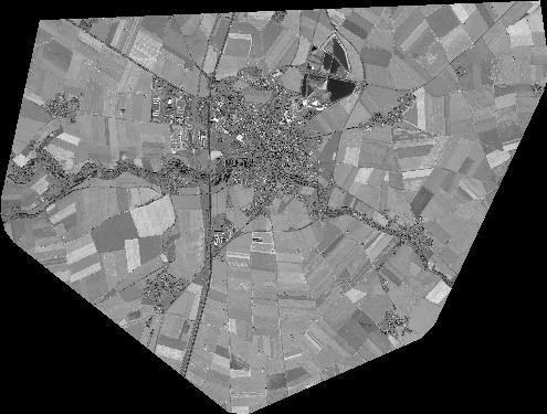
Quicklook
Copyright