TYPE:
ORTHO
LAYER:
DS_PHR1B_202007111102273_FR1_PX_E000N47_1215_03124
FORMAT:
DIMAP
RASTER:
image/tiff
General Information
Map Name
Geometric Processing Level
Radiometric Processing Level
BASIC
Image dimensions
Number of columns
30500
Number of rows
77826
Number of spectral bands
1
Dataset framing
Vertice
Longitude (DEG)
Latitude (DEG)
Row
Col
#1
0.8318607283295736
47.78229384061204
#2
1.035434283747342
47.78588508974931
#3
1.048277426200323
47.43573782247696
#4
0.8460334488472064
47.43216940783122
Dataset sources
PHR
Coordinate Reference System
Projected Coordinate System
Geocoding tables identification
EPSG(6.3)
Projected Coordinate System name
2154
Projected Coordinate System code
urn:ogc:def:crs:EPSG::2154
Geoposition
Upper - Left Map X Coordinate
537657.25
Upper - Left Map Y Coordinate
6744662.25
Image sampling
0.5 x 0.5
Production
Production Date
2020-08-17T08:23:40.698
Job identification
5255297101-1
Dataset Producer Identification
AIRBUS DS GEO
Producer link
http://www.geo-airbusds.com
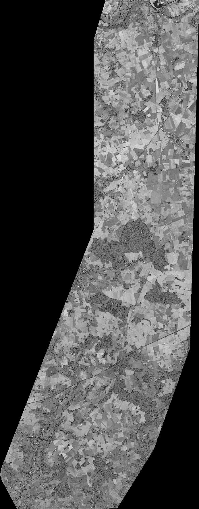
Quicklook
Copyright