TYPE:
ORTHO
LAYER:
DS_PHR1B_202007111102273_FR1_PX_E000N47_1215_03124
FORMAT:
DIMAP
RASTER:
image/tiff
General Information
Map Name
Geometric Processing Level
Radiometric Processing Level
BASIC
Image dimensions
Number of columns
7626
Number of rows
19458
Number of spectral bands
4
Dataset framing
Vertice
Longitude (DEG)
Latitude (DEG)
Row
Col
#1
0.8318571162150817
47.78230052650103
1
#2
1.035437372182624
47.78589189382958
#3
1.048280987921786
47.43573112875861
#4
0.846030404868291
47.43216259755056
Dataset sources
PHR
Coordinate Reference System
Projected Coordinate System
Geocoding tables identification
EPSG(6.3)
Projected Coordinate System name
2154
Projected Coordinate System code
urn:ogc:def:crs:EPSG::2154
Geoposition
Upper - Left Map X Coordinate
537657
Upper - Left Map Y Coordinate
6744663
Image sampling
2 x 2
Production
Production Date
2020-08-17T08:19:48.408
Job identification
5255297101-2
Dataset Producer Identification
AIRBUS DS GEO
Producer link
http://www.geo-airbusds.com
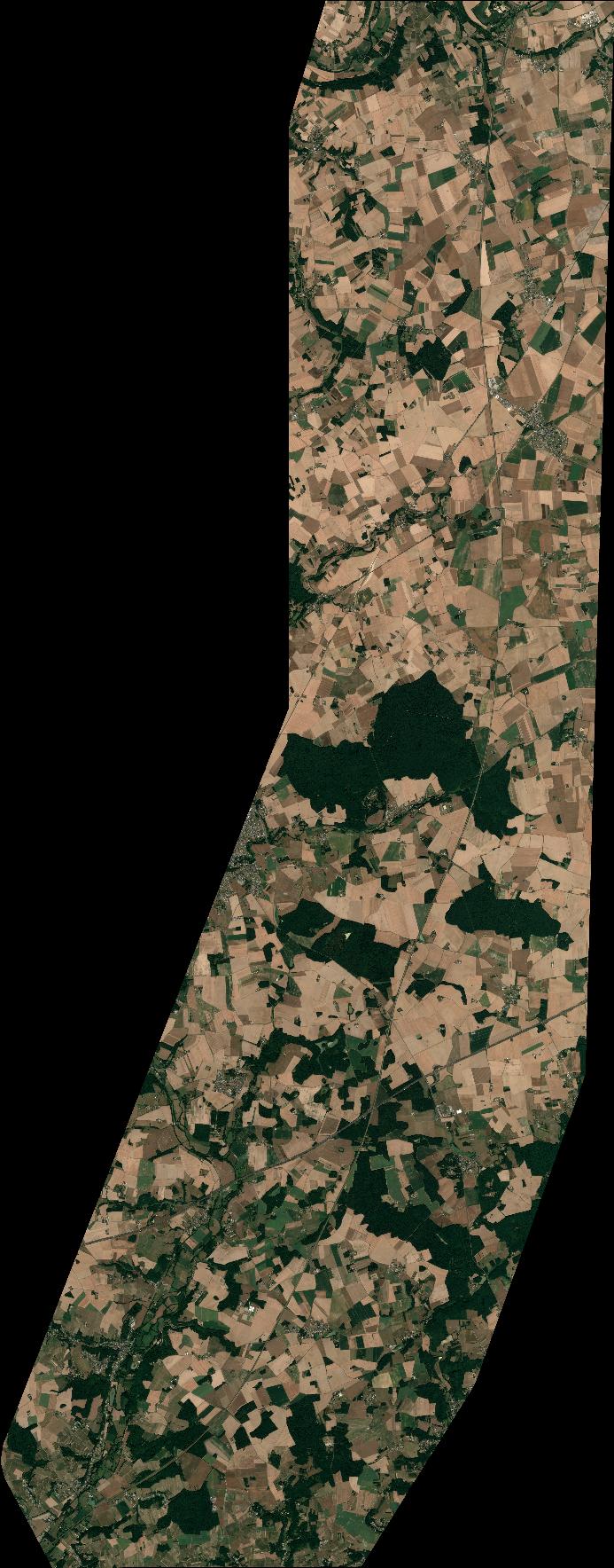
Quicklook
Copyright