TYPE:
ORTHO
LAYER:
DS_PHR1B_202007091117450_FR1_PX_E000N47_0321_04393
FORMAT:
DIMAP
RASTER:
image/tiff
General Information
Map Name
Geometric Processing Level
Radiometric Processing Level
BASIC
Image dimensions
Number of columns
11026
Number of rows
27222
Number of spectral bands
4
Dataset framing
Vertice
Longitude (DEG)
Latitude (DEG)
Row
Col
#1
0.07259497198561729
48.11208269007886
1
#2
0.3687151261369687
48.11906514703178
#3
0.3928672033279456
47.62936911492788
#4
0.09946041596157322
47.62244871522026
Dataset sources
PHR
Coordinate Reference System
Projected Coordinate System
Geocoding tables identification
EPSG(6.3)
Projected Coordinate System name
2154
Projected Coordinate System code
urn:ogc:def:crs:EPSG::2154
Geoposition
Upper - Left Map X Coordinate
482187
Upper - Left Map Y Coordinate
6783117
Image sampling
2 x 2
Production
Production Date
2020-08-17T08:16:03.077
Job identification
5255299101-2
Dataset Producer Identification
AIRBUS DS GEO
Producer link
http://www.geo-airbusds.com
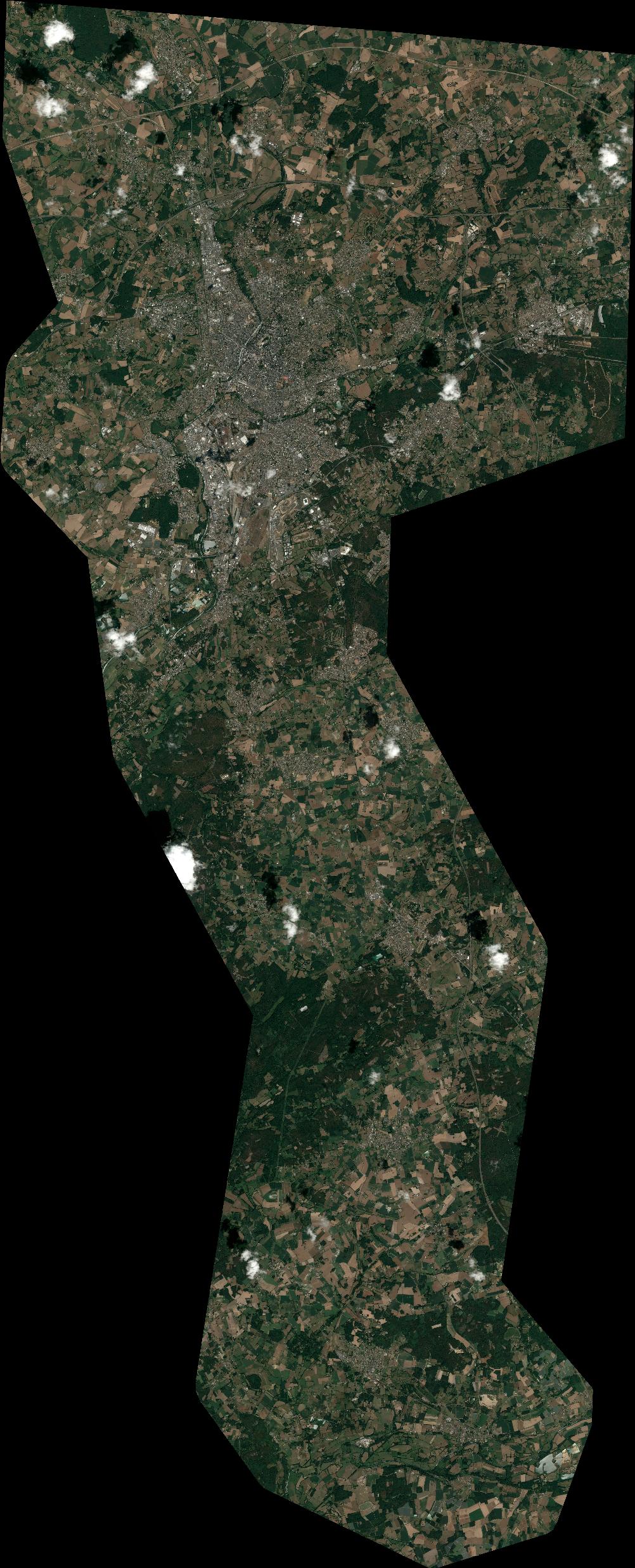
Quicklook
Copyright