TYPE:
SENSOR
LAYER:
DS_PHR1A_202007081125272_FR1_PX_W002N46_0615_00973
FORMAT:
DIMAP
RASTER:
image/jp2
General Information
Map Name
Geometric Processing Level
Radiometric Processing Level
BASIC
Image dimensions
Number of columns
4501
Number of rows
5364
Number of spectral bands
4
Dataset framing
Vertice
Longitude (DEG)
Latitude (DEG)
Row
Col
#1
-1.617357904465562
46.28471701011406
1
#2
-1.479862159880299
46.27294573195891
#3
-1.480532871651271
46.15879914627112
#4
-1.618261201954654
46.17115905786215
Dataset sources
PHR
Coordinate Reference System
Projected Coordinate System
Geocoding tables identification
EPSG(6.3)
Production
Production Date
2020-07-15T11:41:10.213
Job identification
5170046101-2
Dataset Producer Identification
AIRBUS DS GEO
Producer link
http://www.geo-airbusds.com
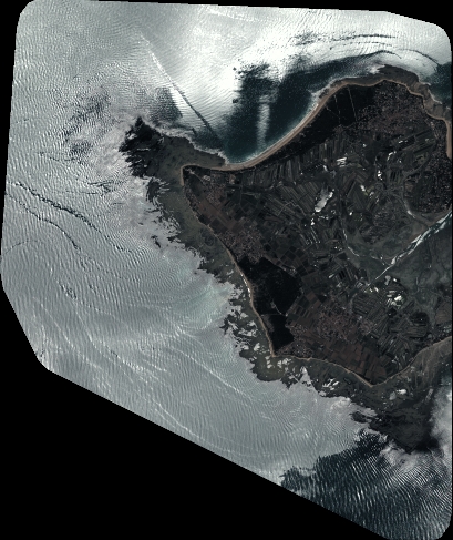
Quicklook
Copyright