TYPE:
SENSOR
LAYER:
DS_PHR1A_202007081125412_FR1_PX_W002N46_0809_01614
FORMAT:
DIMAP
RASTER:
image/jp2
General Information
Map Name
Geometric Processing Level
Radiometric Processing Level
BASIC
Image dimensions
Number of columns
6132
Number of rows
8971
Number of spectral bands
4
Dataset framing
Vertice
Longitude (DEG)
Latitude (DEG)
Row
Col
#1
-1.44244316144904
46.08763925100808
1
#2
-1.253185749495904
46.07412332242705
#3
-1.254769390940235
45.89045445299215
#4
-1.444578012266619
45.90541398522511
Dataset sources
PHR
Coordinate Reference System
Projected Coordinate System
Geocoding tables identification
EPSG(6.3)
Production
Production Date
2020-07-15T11:47:44.314
Job identification
5170045101-2
Dataset Producer Identification
AIRBUS DS GEO
Producer link
http://www.geo-airbusds.com
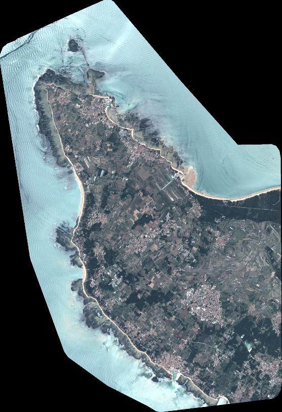
Quicklook
Copyright