TYPE:
SENSOR
LAYER:
DS_PHR1A_202006061541579_FR1_PX_W079S01_0621_03540
FORMAT:
DIMAP
RASTER:
image/tiff
General Information
Map Name
Geometric Processing Level
Radiometric Processing Level
BASIC
Image dimensions
Number of columns
35024
Number of rows
78722
Number of spectral bands
1
Dataset framing
Vertice
Longitude (DEG)
Latitude (DEG)
Row
Col
#1
-78.64644207874649
0.02571884085736546
#2
-78.48678062929535
0.02262518415569168
#3
-78.4873253223422
-0.3303443233764868
#4
-78.64442907901436
-0.3300327380187875
Dataset sources
PHR
Coordinate Reference System
Projected Coordinate System
Geocoding tables identification
EPSG(6.3)
Production
Production Date
2020-08-05T17:13:56.256
Job identification
5226223101-1
Dataset Producer Identification
AIRBUS DS GEO
Producer link
http://www.geo-airbusds.com
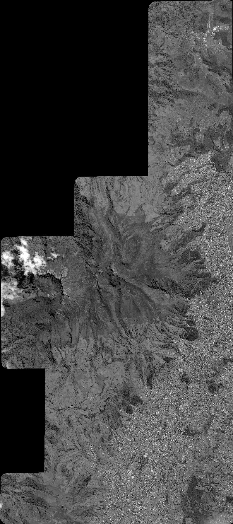
Quicklook
Copyright