TYPE:
SENSOR
LAYER:
DS_PHR1A_202006061541579_FR1_PX_W079S01_0621_03540
FORMAT:
DIMAP
RASTER:
image/tiff
General Information
Map Name
Geometric Processing Level
Radiometric Processing Level
BASIC
Image dimensions
Number of columns
8757
Number of rows
19681
Number of spectral bands
4
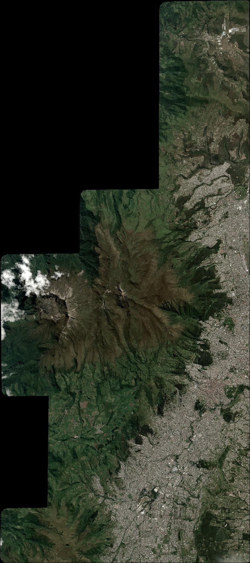
Dataset framing
Vertice
Longitude (DEG)
Latitude (DEG)
Row
Col
#1
-78.6464354079353
0.02571441222860562
1
#2
-78.48676988525229
0.02262341140783913
#3
-78.48731403718158
-0.3303413090251998
#4
-78.64442200843962
-0.3300322475199717
Dataset sources
PHR
Coordinate Reference System
Projected Coordinate System
Geocoding tables identification
EPSG(6.3)
Production
Production Date
2020-08-05T17:22:07.533
Job identification
5226223101-2
Dataset Producer Identification
AIRBUS DS GEO
Producer link
http://www.geo-airbusds.com
Quicklook
Copyright