TYPE:
SENSOR
LAYER:
DS_PHR1A_202006061541235_FR1_PX_W079S01_0621_03357
FORMAT:
DIMAP
RASTER:
image/tiff
General Information
Map Name
Geometric Processing Level
Radiometric Processing Level
BASIC
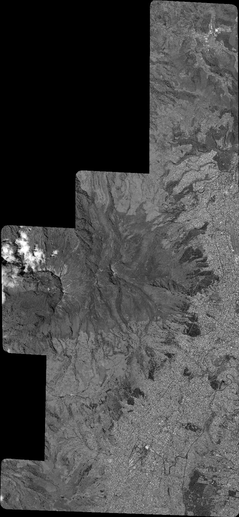
Image dimensions
Number of columns
34043
Number of rows
73677
Number of spectral bands
1
Dataset framing
Vertice
Longitude (DEG)
Latitude (DEG)
Row
Col
#1
-78.64708227621908
0.01596081915630988
#2
-78.48411834867893
0.02487595963984953
#3
-78.48487912072969
-0.3298732508371821
#4
-78.64444867459352
-0.3359784390057095
Dataset sources
PHR
Coordinate Reference System
Projected Coordinate System
Geocoding tables identification
EPSG(6.3)
Production
Production Date
2020-08-05T17:30:14.214
Job identification
5226221101-1
Dataset Producer Identification
AIRBUS DS GEO
Producer link
http://www.geo-airbusds.com
Quicklook
Copyright